Every April the Missouri Highway Department released a map with scenic and historic locations in preparation for the coming tourist season. April, 1961 was no different and the citizens of Noel were awaiting the publication of that year’s Family Vacationland map. On April 3 a meeting was held at the Noel Chamber of Commerce, attended by members, State Senator Lee Bachler (who represented McDonald County in Jefferson City), and a highway official from Joplin. Copies of the Family Vacationland Map were distributed to those present, who immediately protested the printing of the map.¹
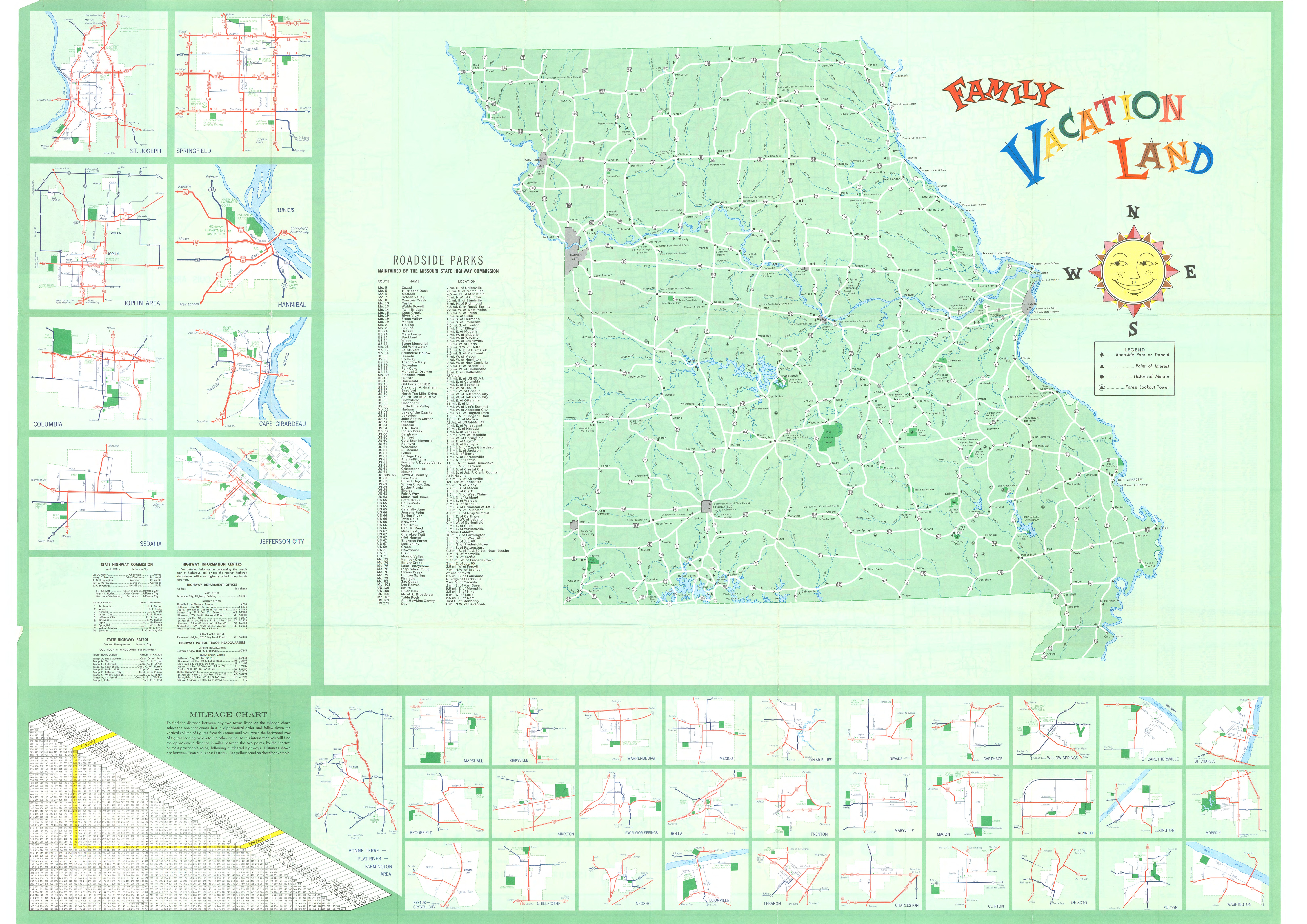
The 1961 Family Vacationland Map. Courtesy of the McDonald County Historical Society.
The 1961 Family Vacationland Map, being a major resource for Missouri tourists, had the potential to devastate McDonald County. The map omitted Pineville, Noel, Southwest City, and Missouri 59 and had placed another highway that ran through the county in the wrong location.² The only McDonald County town on the map was Anderson, for reasons that confounded the residents of McDonald County. Was this an honest mistake? Was the county being targeted by Jefferson City for an unknown reason?
That Thursday, April 6, the Noel Chamber of Commerce met again to draft a letter of protest and inquiry to Governor John M. Dalton, who responded,
“I am extremely sorry about the omission of Pineville and Noel. But this office has nothing to do with preparing these maps and I would suggest that you contact the chief engineer of the Highway Department.”³
The Noel Chamber of Commerce got their explanation on Friday, April 7, before Governor Dalton’s letter had returned, when Robert Barron, the Chief Cartographer of the Missouri Highway Department and the man who had supervised the publication of the maps, publicly stated in Jefferson City that “leaving the towns off the maps was not an oversight. It was intended… because of commercialization.”4 This statement proved to be a major misstep on the part of the Missouri Highway Department. To the residents of McDonald County, this was simply another event in the months long assault by the Missouri Highway Department against McDonald County’s status as a major Ozarks Playground destination and its economic well-being. After hearing this reason for omitting much of McDonald County, the Mayor of Anderson, Bill Hall, stated,
“I think it is ridiculous that some ‘knuckle – head’ in the map department said the area was too commercialized. I lived in one of the lake areas and they are much more commercial. Anderson was not left off the map, but our sister towns were, and what hurts our sister towns hurts Anderson.”5
Tempers continued to flare in McDonald County. That weekend a petition began to circulate throughout the county that accused Mr. Bachler and other representatives of southwest Missouri of being too “lax” and that this attitude had been,
“directly responsible for the loss of thousands of dollars in tourist trade and revenue during the last year and the most recent blunder will compound the injury.”6
On Tuesday, April 11 Mr. Bachler responded that the representatives of the region were working to rectify the issue with the Missouri Highway Department and that the members of the Missouri Highway Commission, which had drafted the map, were a bi-partisan group of four who were directly appointed by the governor. He claimed that everything was being done to rectify this “goof.”7 Further, Roy E. Hayes, then the newly appointed southwest Missouri representative on the Missouri Highway Commission, diverted responsibility for the omissions by stating that the map was ready for print when had been appointed and that he had had no part in its design. He additionally stated that,
“Other areas could complain too… Wilson’s Creek, Truman’s birthplace at Lamar and the Federal Fish Hatchery at Neosho also were not listed. It appears that the main emphasis is on historical markers and roadside parks.”8
Whatever logic Mr. Hayes and Mr. Bachler presented to assuage the frustrations of McDonald County, residents expected compensation for the potentially lost tourist income and evidence through action that their well-being was not being ignored by the state. On Saturday, April 8, as the petition condemning regional representatives was being drafted and signed, local representatives from Noel, Pineville, and Southwest city met to discuss potential ways that the state could compensate McDonald County for the omission. Z. L. McGowan, the president of the Noel Chamber of Commerce and spokesman for the group, stated that “the paving of Highway 90 from Noel to Jane would certainly help to compensate for the error some.”9 As willing to work with the state and as hopeful for reconciliation that McDonald County residents had been for the week following the release of the Family Vacationland Map, voices and representatives from Jefferson City were more likely to dodge responsibility for the mistake than to actively seek to communicate with the county. By the time that Mr. Bachler released his statement attempting to quell the fears of a disrupted local economy and frustrations with the state of Missouri, several community leaders in McDonald County had decided to take drastic action.
Next: Secession
1. Smith, Norman Jr., “Boycott in Jefferson City? — YES!,” Anderson News-Review, April 6, 1961
2. Paul Stubblefield, “Rebel Spirit Grows as Residents Seek to Keep Tourists Conscious of Area’s Beauty,” Kansas City Star, April 12, 1961.
3. “Dispute Over Map Continues,” McDonald County Press, Rose Hansen Research Collection, The McDonald County Historical Society, Pineville, MO.
4. Ibid.
5. “Highway 90 Paving Enters McDonald County Picture,” Neosho Daily News, April 11, 1961.
6. Ibid.
7. “Letter From Sen. Bachler,” The Southwest City Republic, April 14, 1961.
8. “Highway 90 Paving,” Neosho Daily News.
9. Ibid.